For all the time I managed to visit many islands in different countries, seas, and oceans. In many ways, the islands are similar to each other: Traditional people, not particularly…
Last Updated on January 14, 2024
Right next to the northern island of New Zealand (about 100 km northeast of the center of Auckland) Great Barrier islands are located. This is an amazing place lost in time. Perhaps New Zealand was like this about 50 years ago.
Once upon a time, it was part of the Coromandel Peninsula, and land drift steadily separated it from Oakland. But over time, the ocean covered land space, as well as the continents moved – and the picture changed.
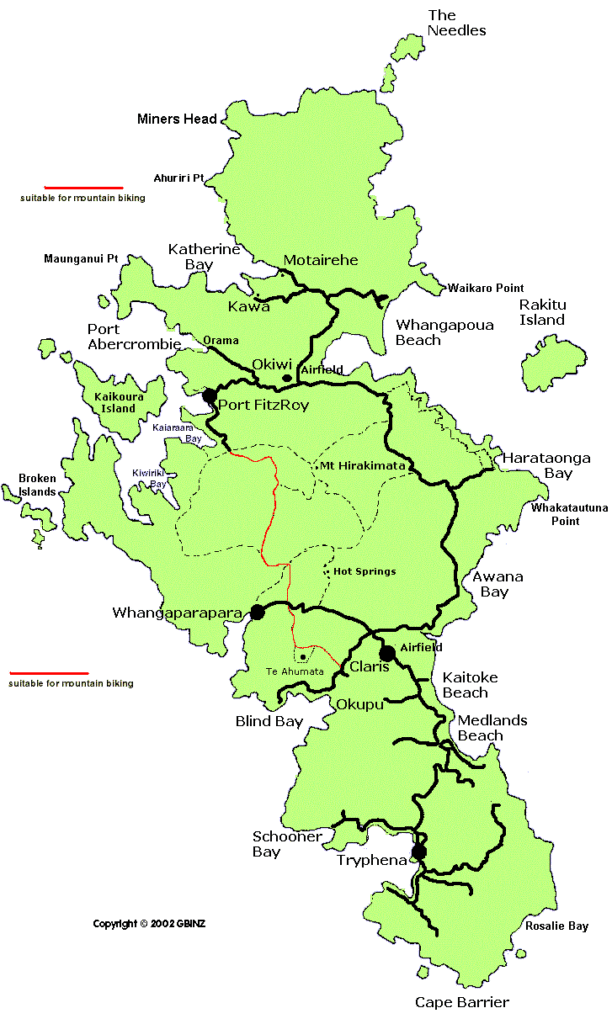
source: thebarrier.co.nz
Now it is a completely isolated island that is not so easy to reach, and even more difficult to exist on it.
There are only two (or even three) ways:
Basically, these are elderly people who decided to live here and a few years ago bought a house and moved to Great Barrier from Auckland and other New Zealand cities (by the way, real estate is quite expensive for such a lost place).
It is very calm, safe (even safer than in mainland New Zealand), beautiful and environmentally friendly.
You can farm or fish, thus provide yourself and your family, work in tourism or not work at all: o
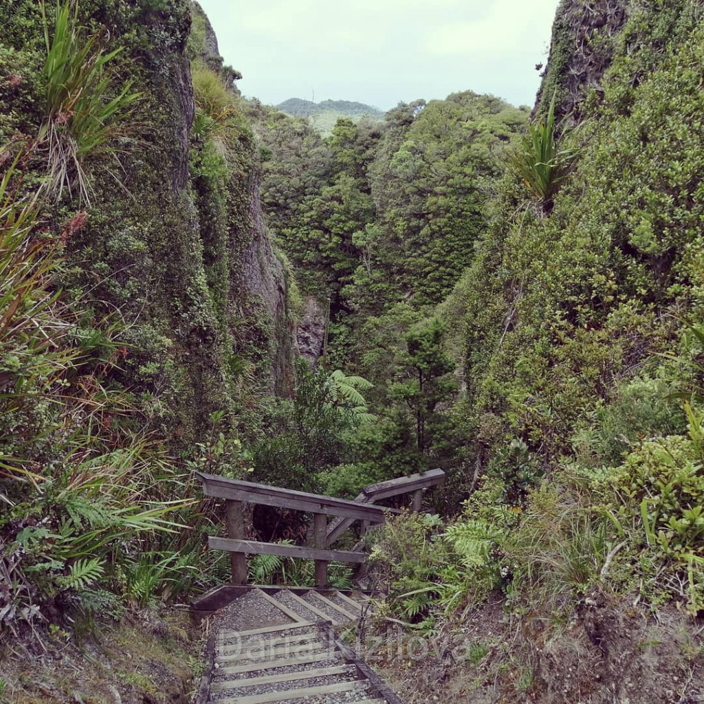
On the island of Great Barrier, there are also young “kiwis” who simply fled from civilization (often escaped from problems). There are a lot of opportunities for outdoor activities: magnificent mountains, waterfalls, and springs – for those who love hiking.
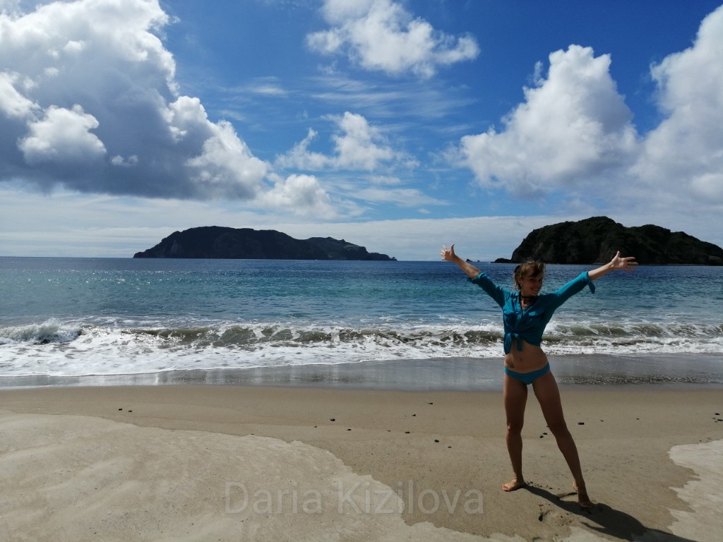
On the west coast of the island, there are many places for diving, spearfishing and interesting little islands where you can swim or fly separately from the Great Barrier Island.
By the way, many come here just for spearfishing or just go boating with friends. Local residents must have at least one boat per family or family friends.
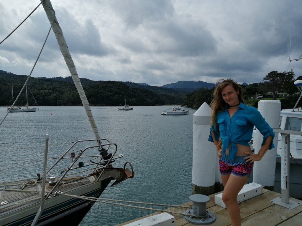
Honestly, rather roughly looking, muscular and funny. Like all the islanders. Everyone knows each other and in the evenings they gather in home bars.
There are not many cafes and bars on the island, a maximum of 5 places for food and 1 bar for the whole island! Therefore, some families arrange home bars (well, that is not something at home but in a separate hall for everyone) where neighbors gather and watch football.
Here, everyone sticks together and participates in each other’s life – one island like a big family. There is not much entertainment in the evening, except sitting in a warm company.
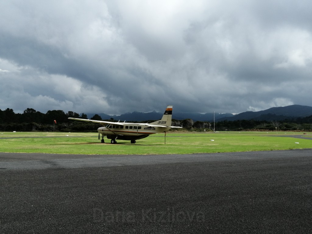
Only two airlines fly from the city center to Great Barrier – Fly My Sky and Barrier Air.
The flight goes on a tiny airplane made for only 8 people. The pilot looked very tired, except for this he also drove us back. Is there only one pilot? Therefore, tired – fly 6 times a day back and forth. 🙂
Earphones are given out before the flight and the door is firmly locked. All the time in the air (which is half an hour) you can take photos and videos and enjoy the views.
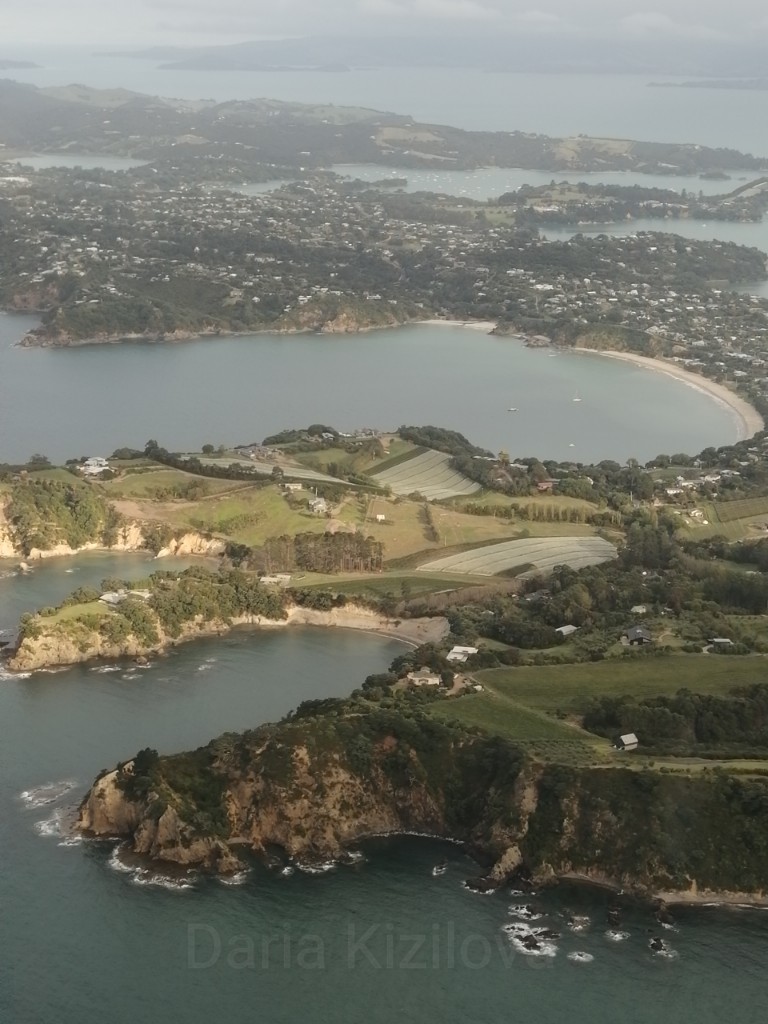
We fly very low above the Earth: Auckland, the island of Waiheke and other small islands of the Hauraki Gulf quickly fly by.
From above, the island of Great Barrier looks creepy. But in fact, it is very similar to one of these tropical islands in the Pacific – Tonga, Fiji, Cook Islands, Tahiti, or Moorea.
The air temperature is stable by as much as 4 degrees higher than in Auckland. But the island is only a hundred kilometers from the mainland.
Like anywhere in New Zealand, there are hostels, campgrounds, and more expensive places.
As already mentioned, the food is hard to find. It is important to correctly guess the time because every cafe has its own schedule and on weekdays almost all places are closed.
On the island, there are 3 or 4 stores and 2 gas stations.
Claris is where the airport is. It is in the center of the island. Nearby there is a gas station with a shop and a cafe.
Tryphena – the largest city on the island. It is located in the south of the island. There is even the only Irish bar Currach. And also concentrated most shops and food places.
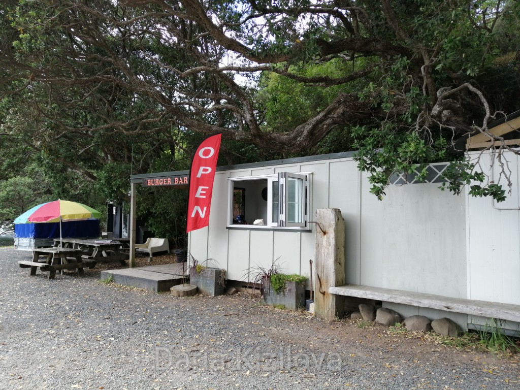
Port Fitzroy – a lonely village in the west of the island. From here diving tours and boat trips, fishing, etc. are organized. There are 1 mini shop and a place where burgers are sometimes sold.
This is the highest point on the island and the sacred mountain.
Three roads lead there:
The most beautiful and original road is the first one. In addition, it is the shortest time. It is also less uplifting since at start there is a lot of driving to the top of the track on a windy mountain road
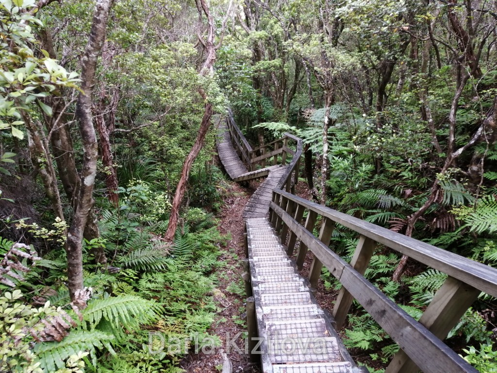
This is a full 3-day hike through the mountains of the Great Barrier Island. It is a ring. It starts on Whangaparapara Road and ends there. The hike covers all of the above places, as well as a few more peaks. For example, Cooper’s Castle. Read more here.
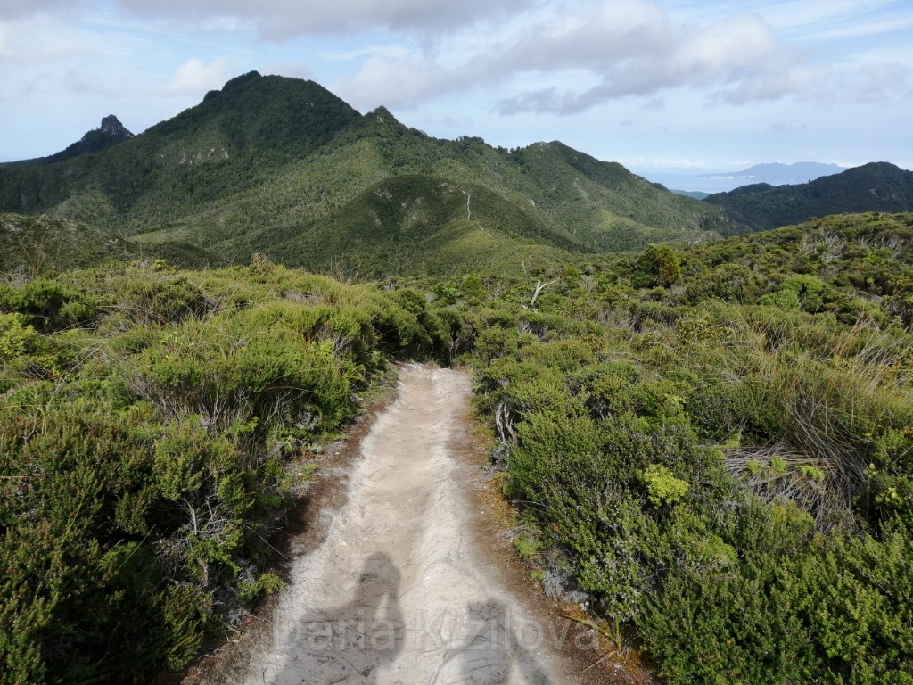
I mentioned a bit about this place above. Great place in the bay with a bunch of islands around. It looks like Vancouver in the mini version. In the neighborhood, there are several paths through the jungle. For example, the Old Lady Track which overlooks the entire bay.
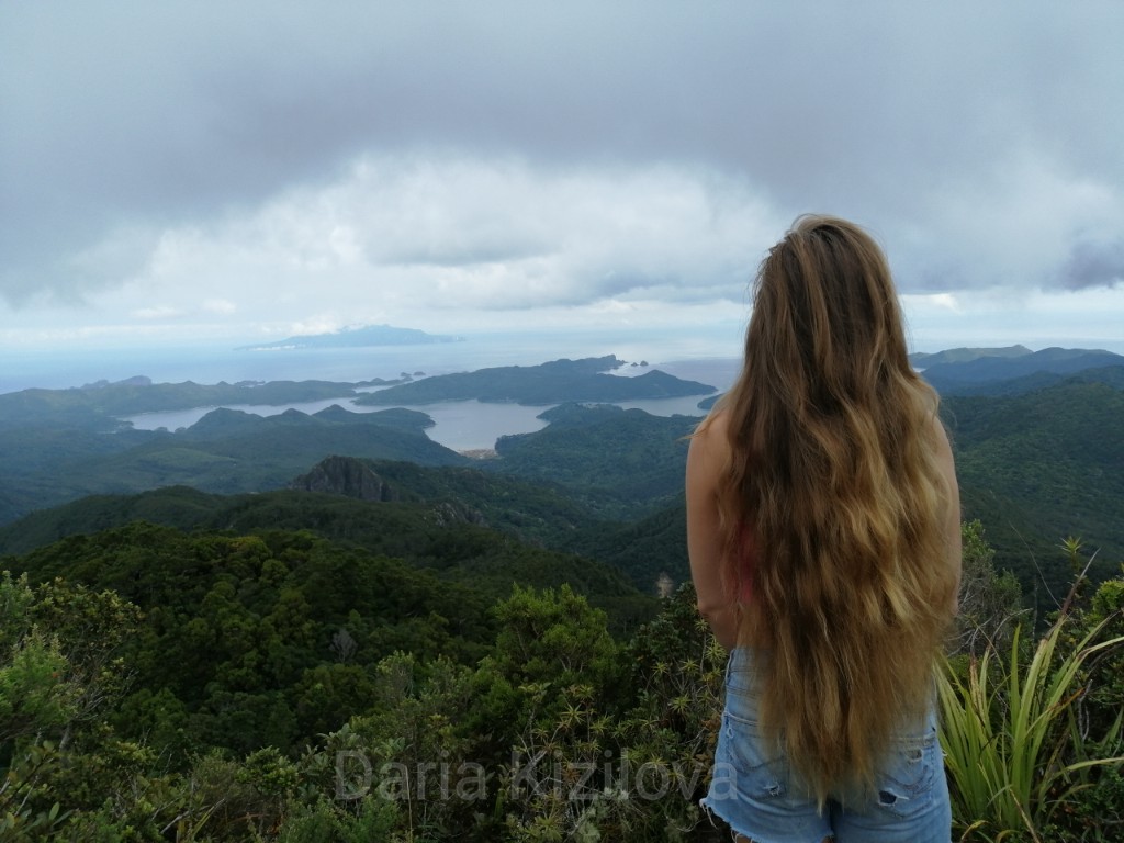
To get to this village, you need to go about an hour and a half from the main airport of Claris. At the port Fitzroy road breaks. Then just walk along the coast.
In fact, many places on the Great Barrier Island cannot be reached at all – the pedestrian road is closed. And you can not drive at all. For example, the entire northern tip of the island is not accessible to tourists.
This is the most popular place – hot springs. It’s warm there and not far to go. These are three small lakes with hot hydrogen sulfide water. There is a half-hour road through the jungle.
What scares you is the fact that a bacterium lives in the water sources (as elsewhere in New Zealand) which can get into the head through the nose and cause meningitis. Therefore, it is not possible to lower the head under the water in no case.
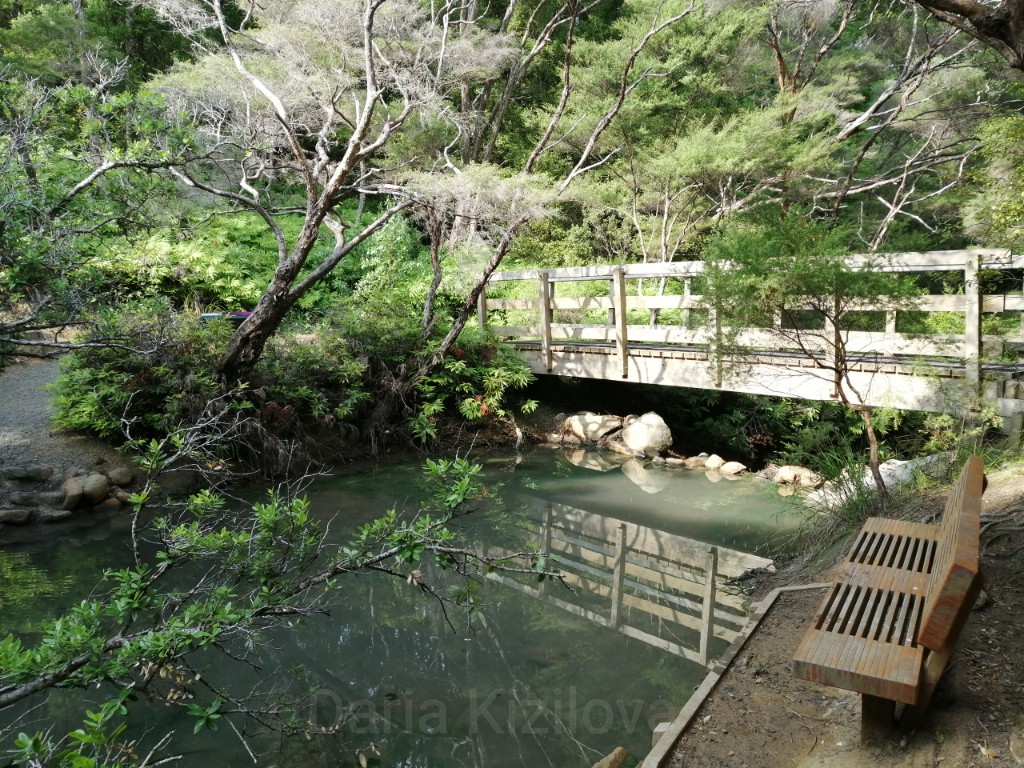
The huge beach, located next to the island’s second airport, Okiwi. It is rarely used. The beach is located at a distance behind the bay that separates it from the airport. Beautiful waves for surfing in this place. In addition, it is protected from the road by a high coniferous forest.

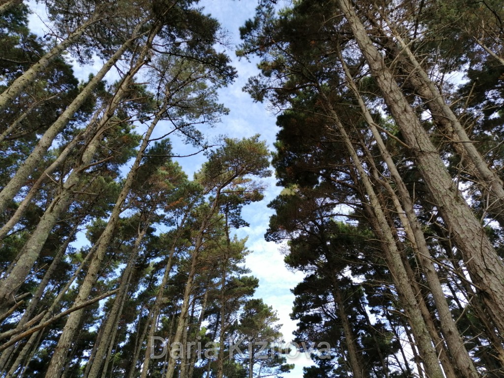
The south of the island is less popular because there are not so many accessible roads for trekking, and the beaches are too difficult to reach. All tourists chose the mountains in the center of the island as well as magnificent beaches near the airport of Claris.
But in fact, it is in the southern secret bays where there are no people, only fish, and even stingrays.
The huge beach, camping and walking path for several kilometers along the coast – all this can be seen in the bay of Harataonga. From the campsite, the road goes north among the rocks. On the way that takes 4-5 hours, there are very small hidden beaches where there is absolutely no one.
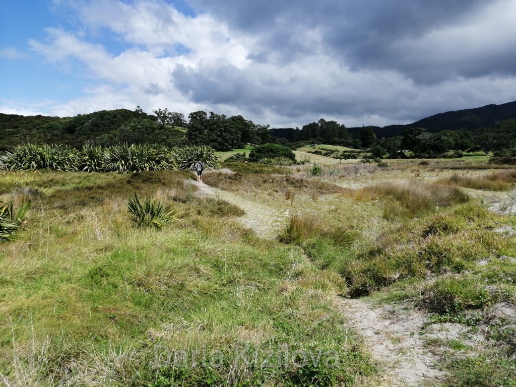
Not far from the airport there are several huge beaches, for example, Kaitoke Beach, Medlands Beach, Awana Bay. To walk along this beach, it may take 40 minutes or more.

This “large” city is located in the south. Here, you can find all the food places. There is one bar and 2-3 not so remarkable beaches. But the atmosphere of the city is pleasant, and furthermore, the road leads to the very south of the island where the lighthouse is located.